
 English
 Español
 Deutsch
 日本語
日本語 Polska
 Français
 中國
中國 한국의
한국의 Українська
 Italiano
 Nederlands
 Türkçe
 Português
 Bahasa Indonesia
 Русский
 हिंदी
हिंदी


- Formati disponibili: Stereolithography: stl 567.00 MB
- Collezione:No
- Larghezza in millimetri:289
- Altezza in millimetri:0.7
- Profondità in millimetri:186
- Stampa Pronta:
- 3D Scan:No
- Per adulti:No
- PBR:No
- AI Formazione:No
- Visualizzazioni:2027
- Data: 2022-06-17
- ID Oggetto:402302
- Voto:
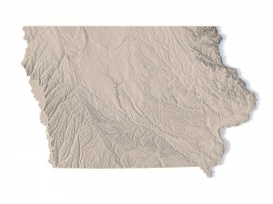
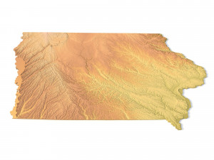
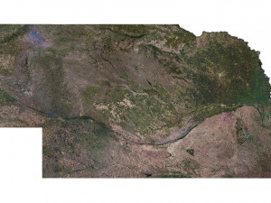
Create Detailed Iowa Terrain Models with This High-Resolution 3D STL
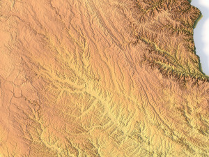
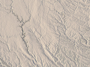
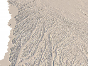
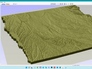
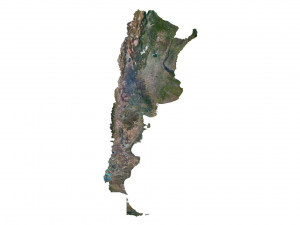
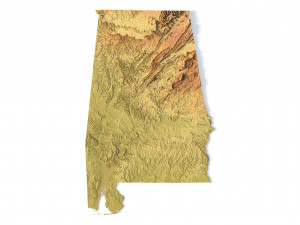
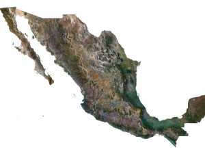
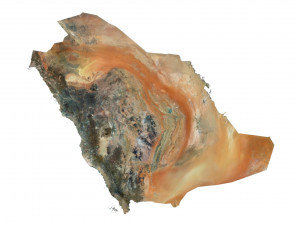
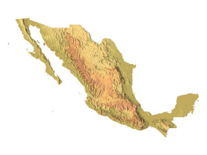
The Iowa Topographic Map STL model provides a high-resolution representation of the state’s topography and geographic features. This 3D model is ideal for creating physical relief maps from materials such as wood, metal, plastic, or concrete. Whether used for landform visualization, educational purposes, or professional GIS projects, this model offers precise elevation data for accurately representing Iowa’s diverse landscape. Compatible with 3D printers, CNC machines, and laser engravers.
- File size: 1.09 GB / 550 MB
- Model size: 289.32 mm x 186.42 mm x 0.731 mm
- Resolution: 0,06 mm
- Projection: Mercator
- Scaling factor: X — 1; Y — 1; Z — 4
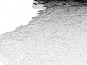
- Polygons: 23 468 644
- Vertices: 11 743 778
- Geometry: Polygonal Tris only
- Base: Open / Closed
Features of the Iowa Topographic STL Model
Detailed elevation data that reflects Iowa’s varied landforms.
Compatible with FDM/SLA 3D printers for creating physical terrain models.
Designed for CNC machining to craft wood or metal relief maps.
High-precision laser engraving capability for metal surfaces.
Se hai bisogno di diversi formati, aprire un nuovo Ticket i Supporto e una richiesta per questo. Convertiamo modelli 3D a: .stl, .c4d, .obj, .fbx, .ma/.mb, .3ds, .3dm, .dxf/.dwg, .max. .blend, .skp, .glb. Non convertiamo scene 3d e formati come .step, .iges, .stp, .sldprt.!
Scaricato Iowa Topographic Map STL Model Modello di stampa 3D stl Da sychev23021983
usa state country america map iowa topographic topo landscape terrain relief geography mountain stl cncOggetti relazionati Da Iowa Topographic Map STL Model


